
Patagonia | Chile
/Patagonia Pt. 2 (Torres del Paine)
Torres del Paine
Where to start…
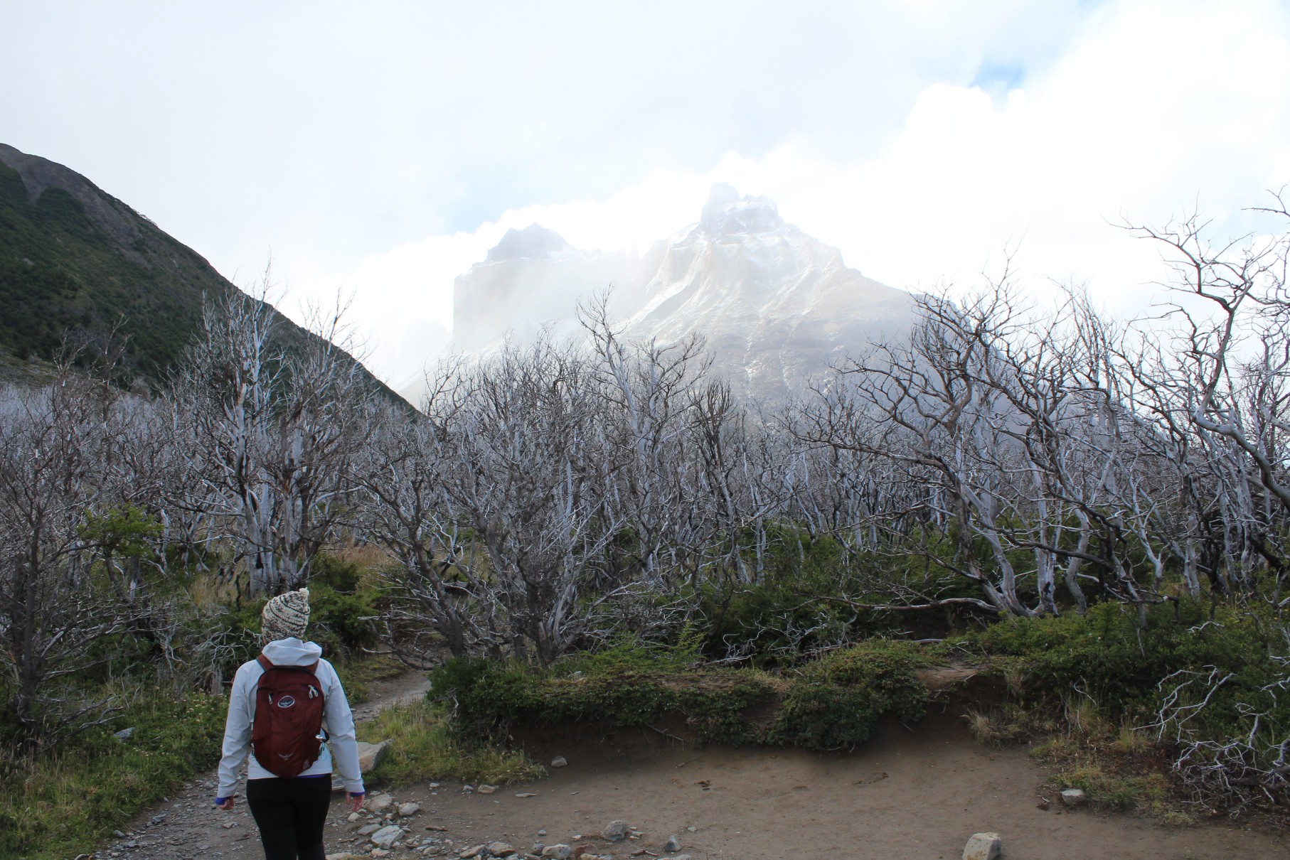
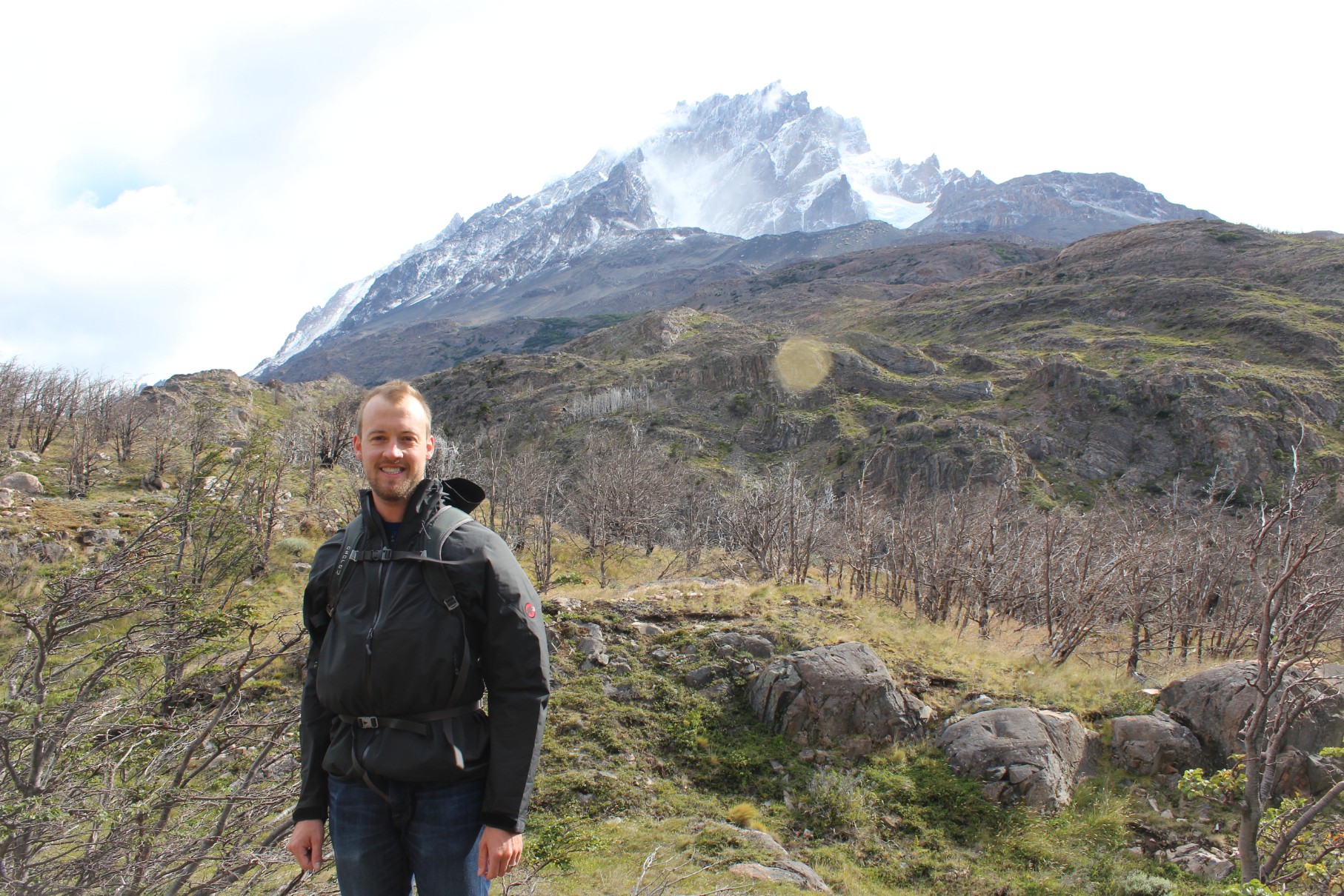
While we will try, our words & pictures could never describe Torres del Paine’s sheer awesomeness, in the purest sense of the word. Driving up to the park for the first time, we got a glimpse of what everybody told us was some of the most amazing sights we would ever see. The mountains can only be described as “beautiful anger”, somewhat akin to the Grand Tetons but on a larger scale. It’s a place where you feel the world could end yet these giants would survive.

A view of the Cuernos from the road
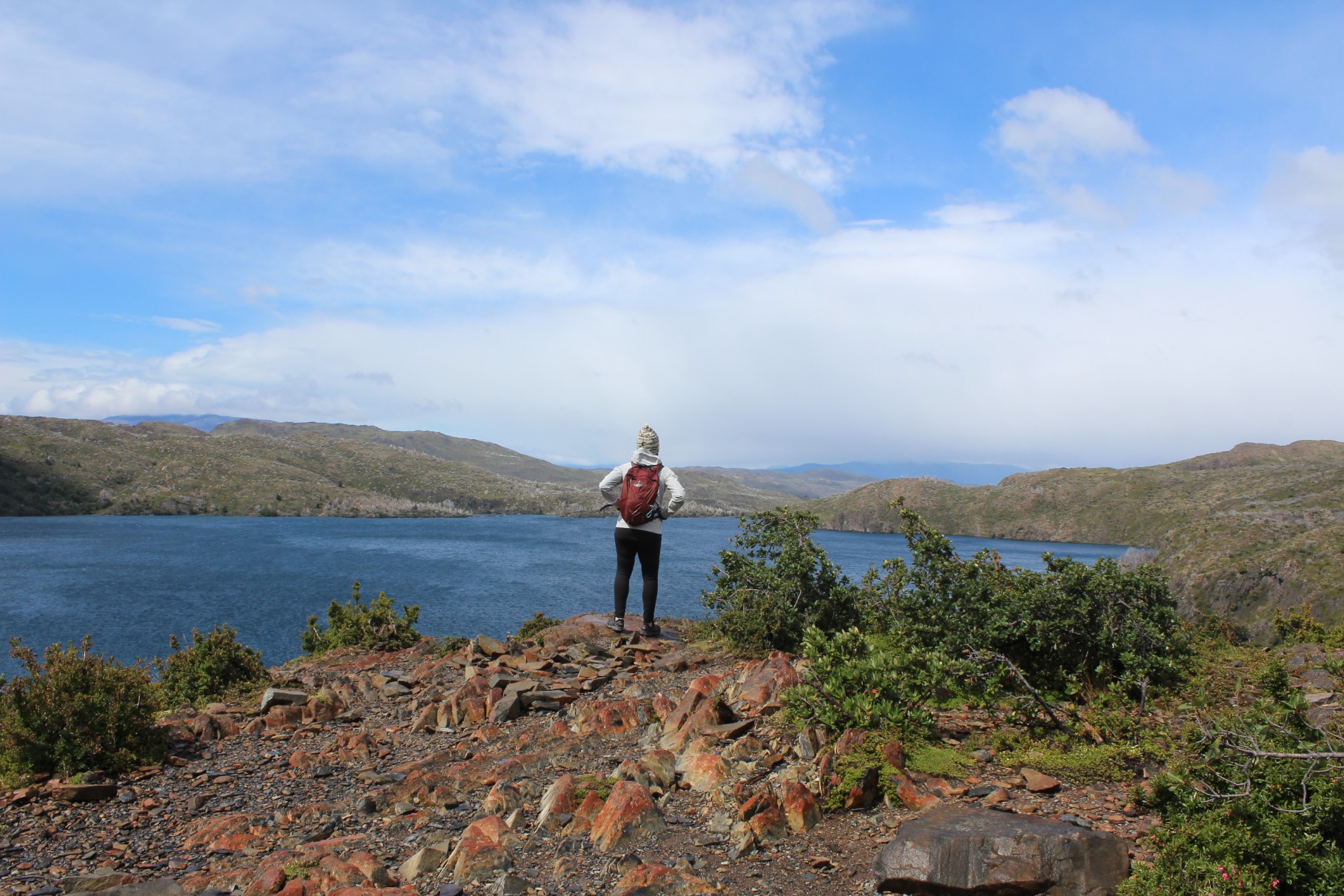
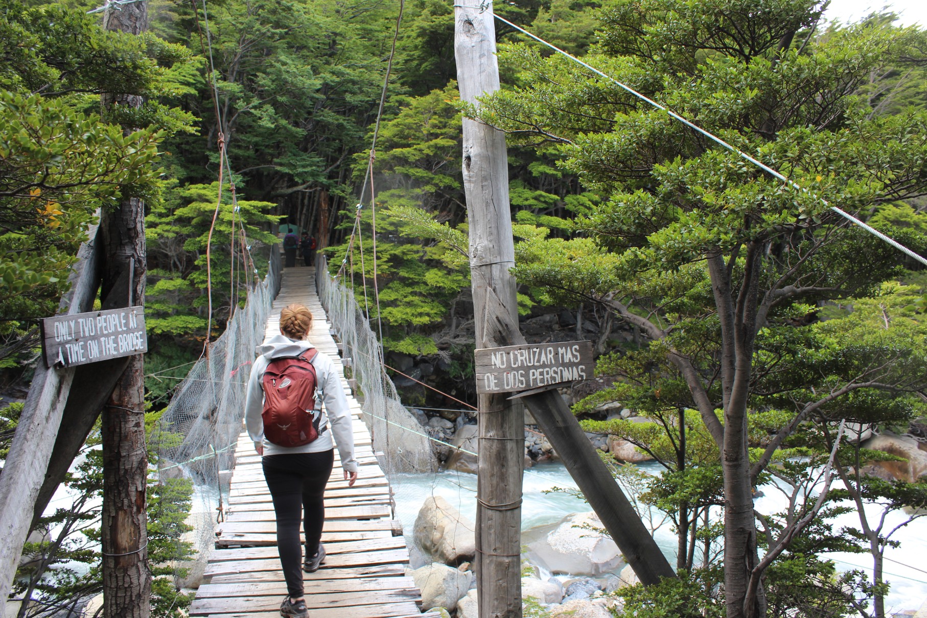
Torres del Paine is a park known globally for the perfect place to hike & backpack. People from all over the world spend 3-4 days hiking the “W Trek” & some continue the Circuit Trek, a more intensive ~7-day hike (see map below). Staying at our inn close to the park we were able to day hike much of the W Trek, hitting the main sites (French Valley, Grey Glacier, & Torres Base).

Torres del Paine map
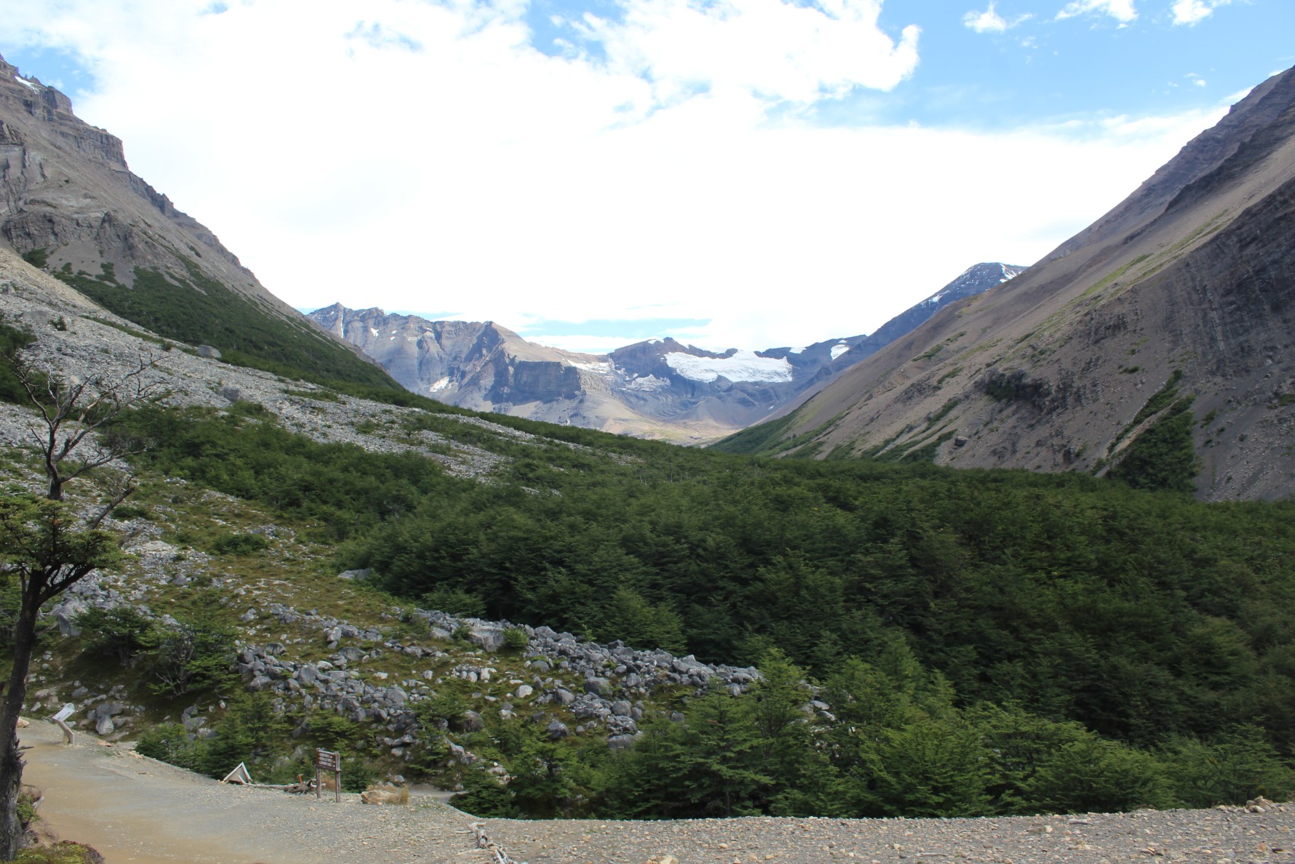
French Valley
Day one we tackled the least strenuous of the 3, French Valley, being tired from the previous day’s travel. Starting later from the lodge (9ish), we drove a little over an hour to catch the 11am ferry across Lago Pehoe to start from Paine Grande Refugio.
Pro tip - If you decide to take the ferry option, ensure you take enough cash as the ferry is ~28,000 CLP (~$45) per person round trip (a lesson learned the hard way & a story for another time)! Nonetheless, we got on board.
We started off from Paine Grande Refugio & headed towards the Italian camp – a 2.5-hour hike says the map. Albeit a “flat” hike, there was a considerable amount of rolling hills. We wove through forests, stepped over rivers, passed lakes, & climbed rocks, which made a “short hike” incredibly interesting.
We ended up getting to the Italian Camp & back in a little over 4 hours, having no problem making the 5pm ferry back. An earlier start would have allowed time to get further into the French Valley, but reaching the Britanico Lookout would be tough for anybody on a day hike as it adds an extra 4 hours’ round trip.
Grey Glacier
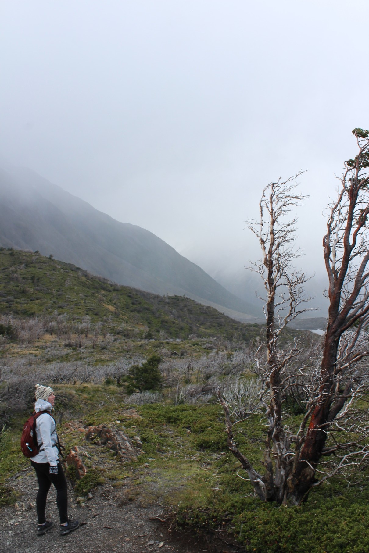
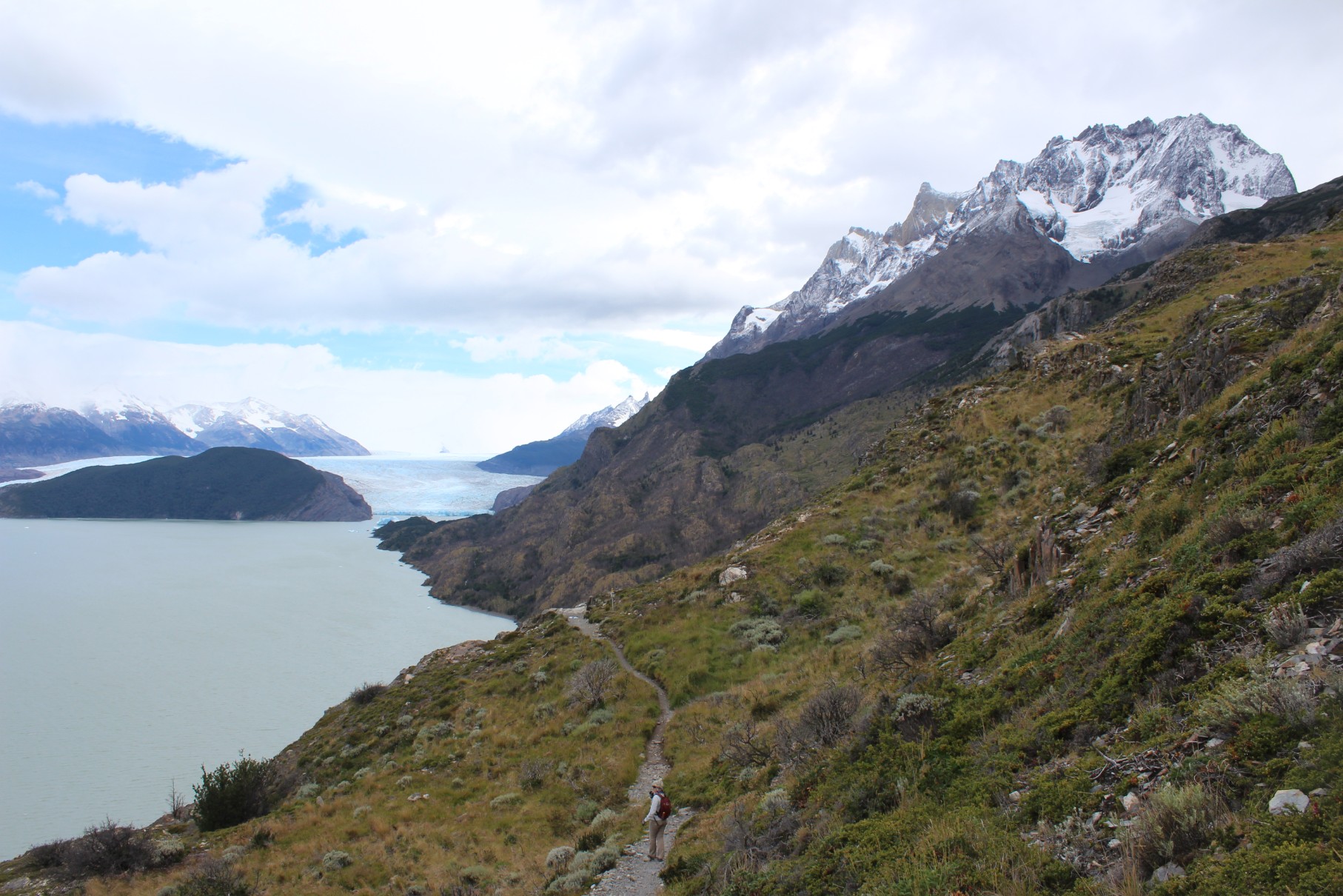
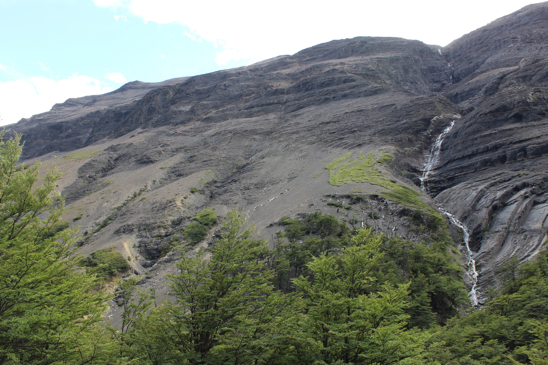
Day 2 of hiking, we opted for the first ferry across Lago Pehoe at 9am to ensure we reached the glacier & back – a 22+ kilometer hike! The weathered called for a fairly windy day & as noted on our map, this hike is also known for its windy conditions. We set off directly into the wind & to say the least, the map was not wrong. We had been assured the long hike was worth it regardless & nothing could be truer.
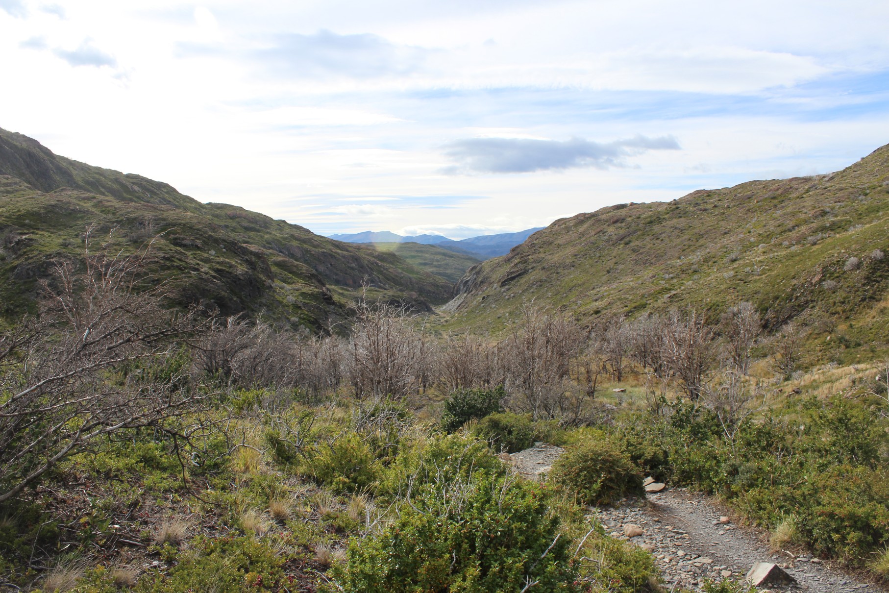
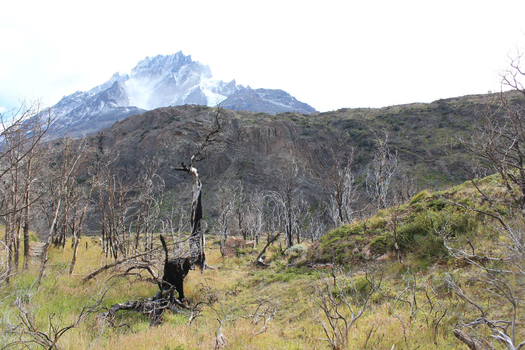
The park continued to not disappoint. The terrain, while completely different than the previous hike, was no less incredible. Hiking towards the glacier you could still see the extreme effects of a park fire in 2011/2012 & an ominous mountain to the side, something of our own Aggro Crag to tackle.
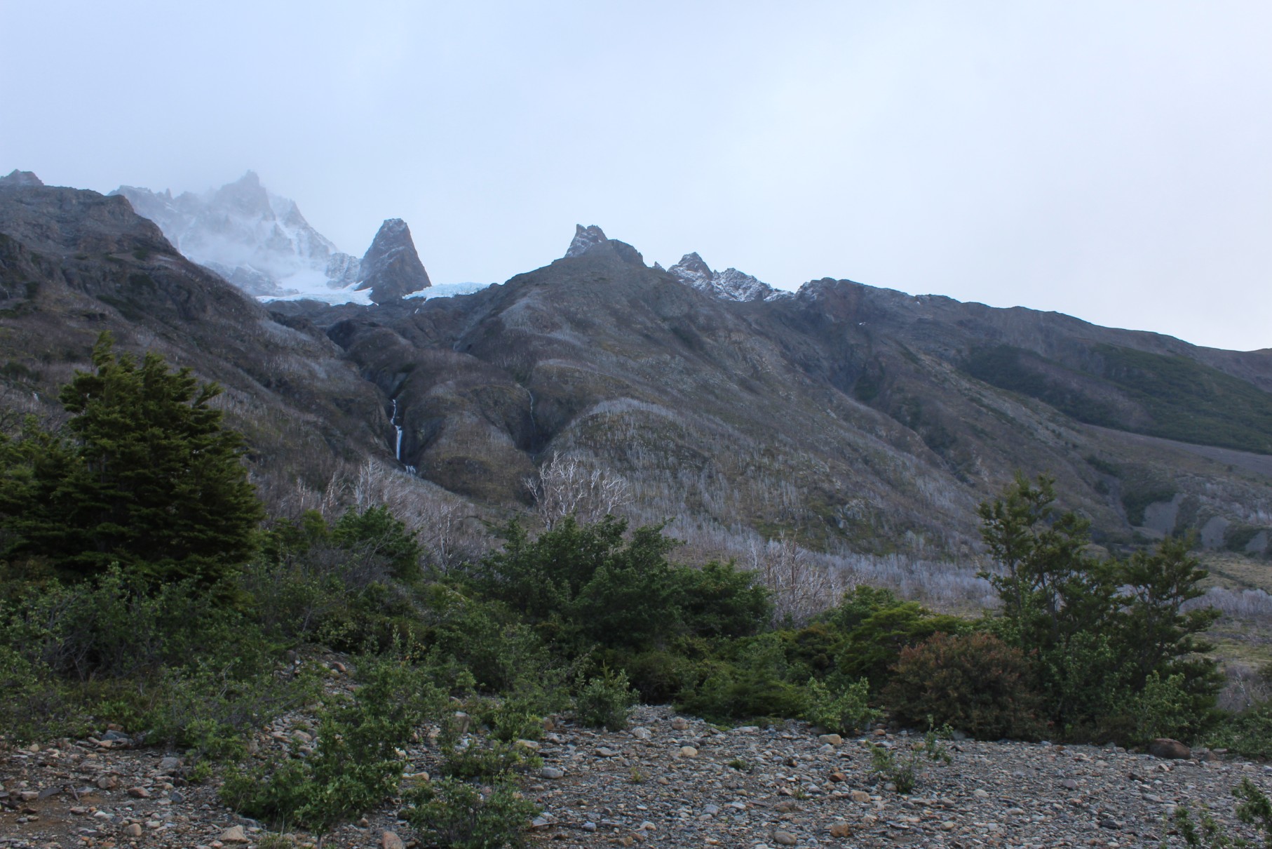
After walking uphill for quite some time, we finally got to the top to the Grey Glacier lookout & it was quite an incredible site (& crazy windy!). Pictures will never do it justice as the glacier is just enormous.

Continuing towards the camp, which ended up being a steep decline, we arrived at about the 3-hour mark.
Once reaching the lookout point (another .5km+ from the camp), we stood in pure amazement at the size of the glacier. It was like nothing we had ever seen before.

Grey Glacier from the Mirador (note ferry for scale)

We even got one with our flag!
In all, we made the round-trip hike in about 6.5 hours with a brief “lunch” (snacks we brought with us – luckily -as the refugio ran out of lunch). By day 2, our feet were feeling every step.
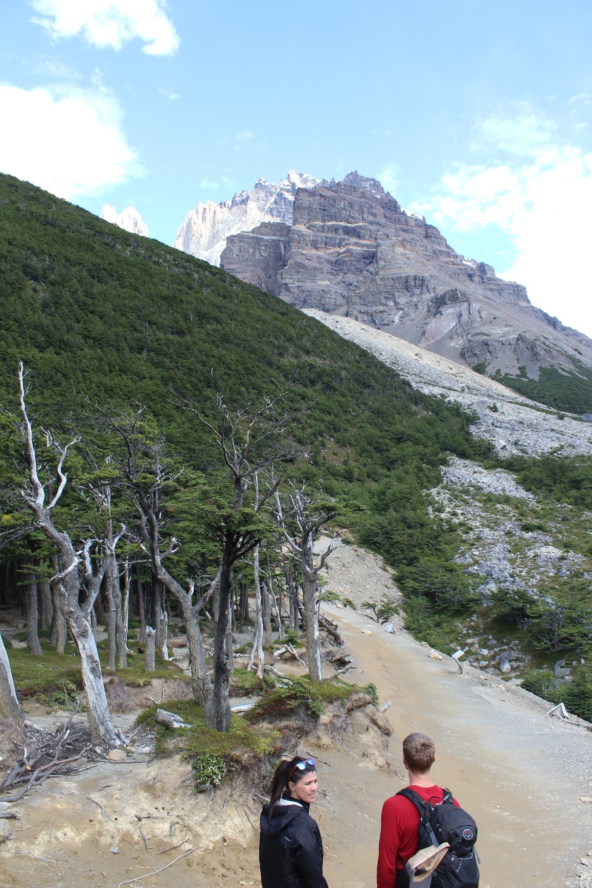
Base las Torres
I’m not sure whose idea it was (Ben), but we decided to save what most people have written as the most difficult hike for last. The map noted 4.5 hours each way to the base of the Torres & back with an elevation gain of ~800 meters. Fortunately for us, no ferry was involved & Patagonia granted us an absolutely gorgeous day. With sun shining & joined by two friends, Eric & Mandi (whom we met in Valpo & ran into on our Grey Glacier hike!) we set off.
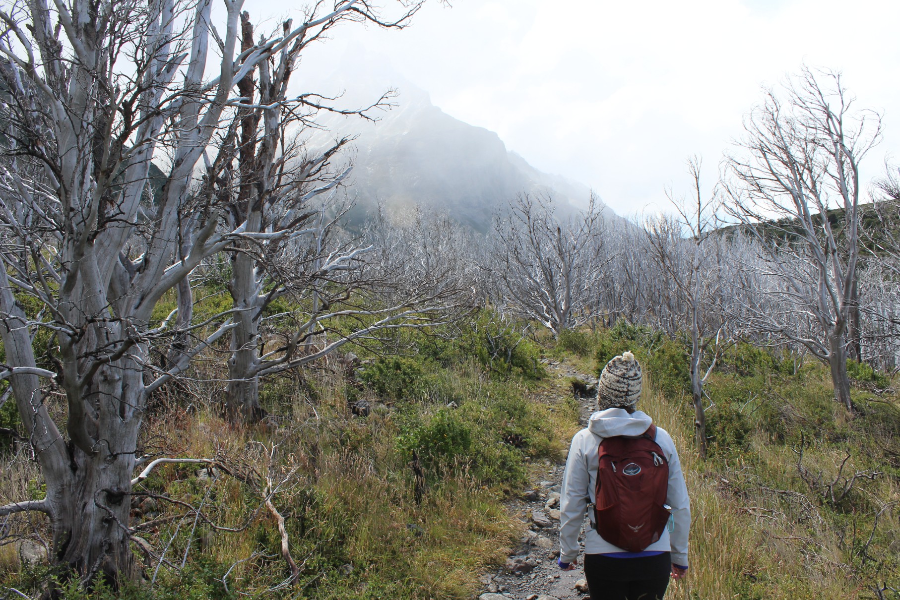
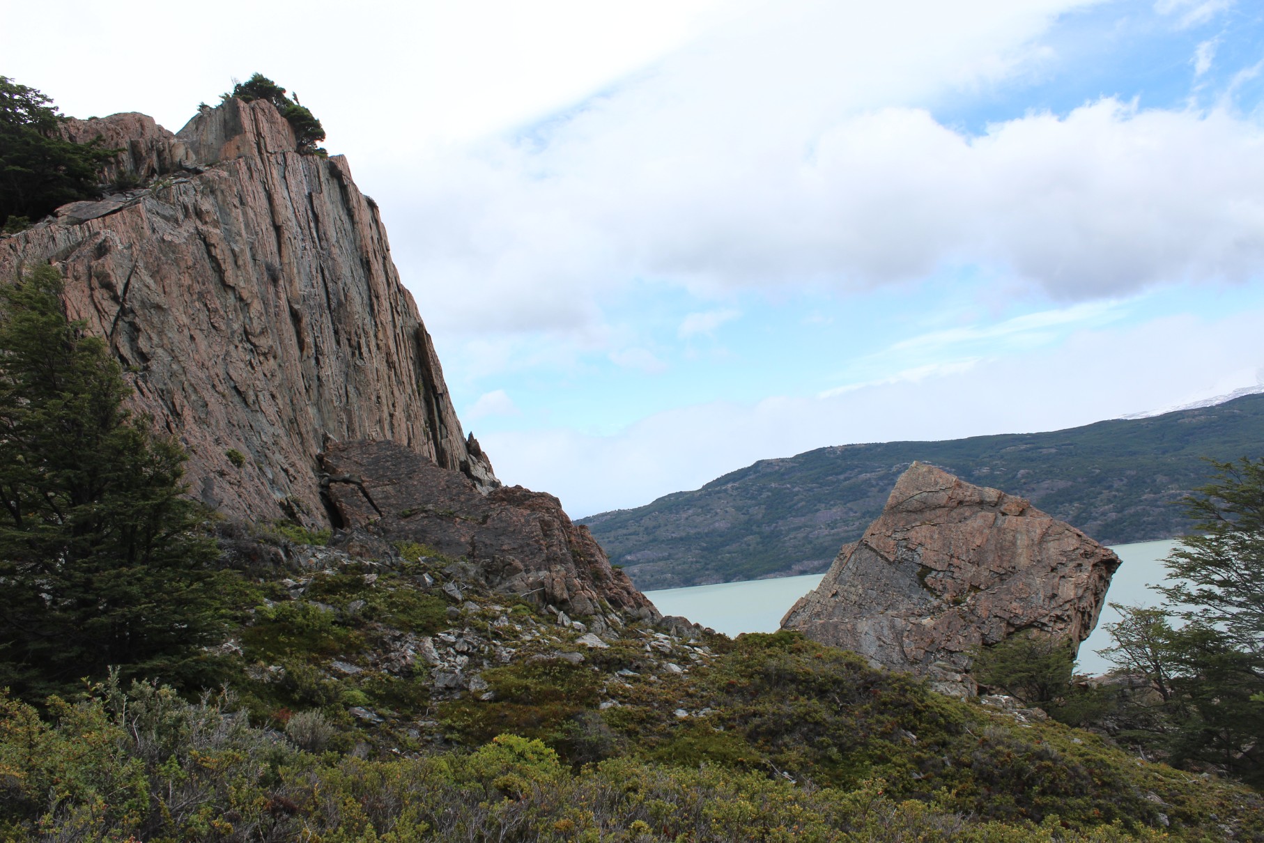
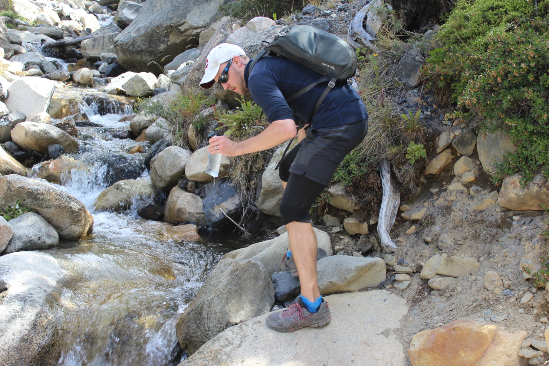
Torres begins with an immediate up into the mountains, no gradual start here, but fortunately feeling good we trekked off with our sights on the top. The hike itself was (again), very different than the previous two days, this one filled with huge canyons, a roaring river, thick forest, & a steep rocky ascent to the top. We even stopped to fill our water bottle from the river as the water is clean enough to drink!
While probably not as bad as some make it sound, the last 40ish minutes are fairly steep & a bit of a rock climb. This being the one spot I thought I may lose it a smidge.

Steep climb to the Base las Torres
After all the uphill hiking, we finally made it to the Torres & it was DEFINITELY worth every step. What can only be described as a serene & majestic place, we were greeted by blue skies to gaze upon the grandeur of the Torres (a rare occurrence apparently).
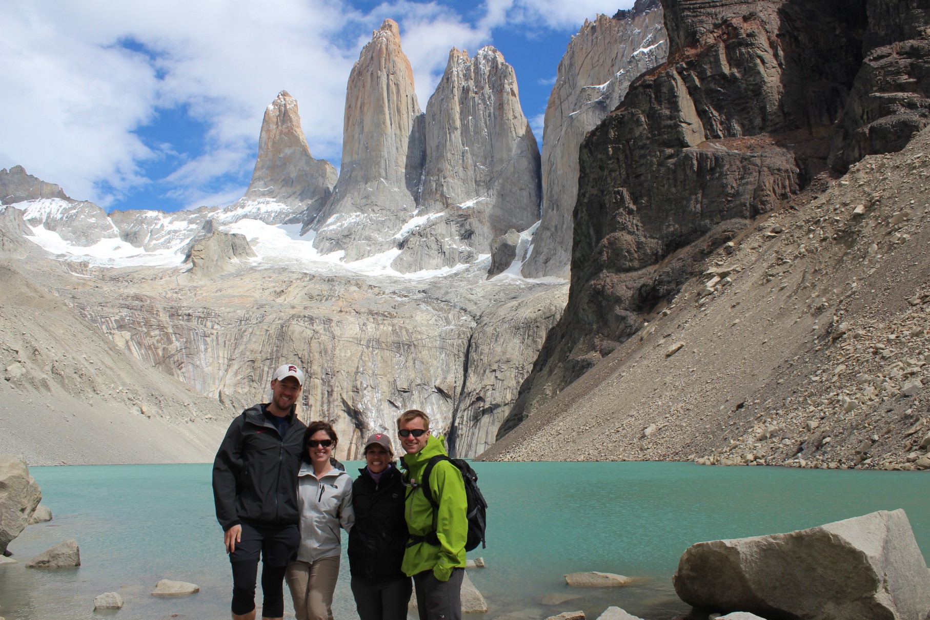
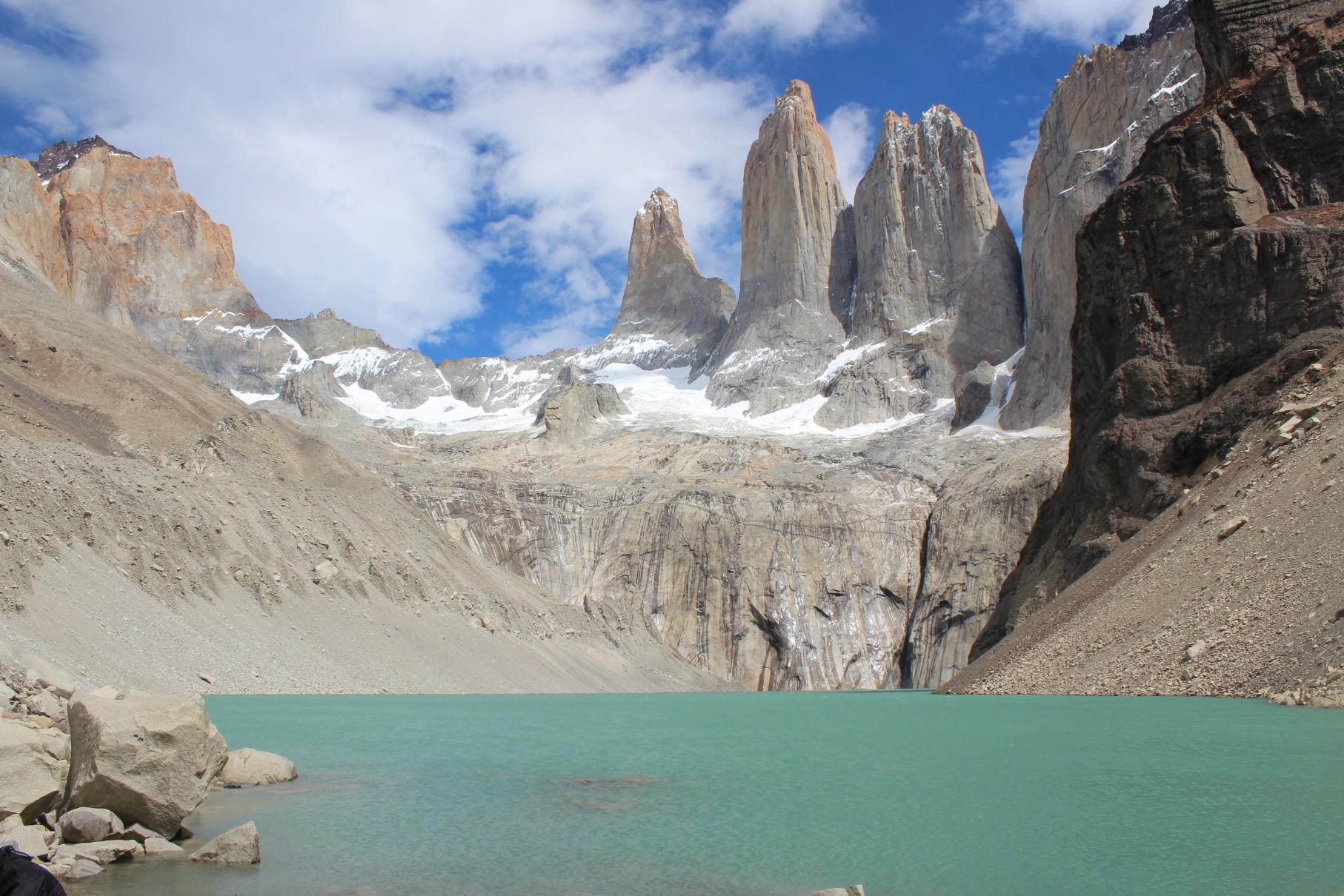
Torres Del Paine – An Amazing Place
While hosting numerous hikes & adventure spots we’d recommend these top 3 to anyone, especially those interested in day hikes. In all, Torres del Paine & Patagonia captured our hearts as one of the most incredible places either of us has ever been. Pictures & words can never do it justice & is an absolute must as a bucket list travel destination.